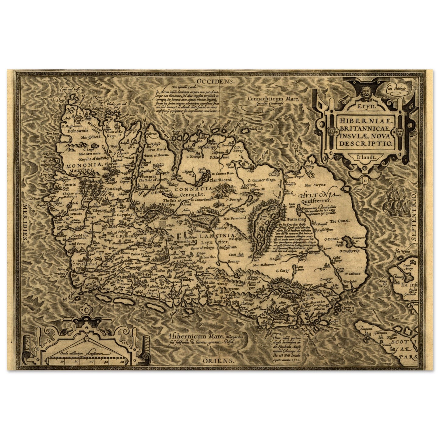
Hiberniae, Britannicae Insvlae nova descripto Ireland Map Print
Hiberniae, Britannicae Insvlae nova descripto Ireland Map Print
Couldn't load pickup availability
- Free Worldwide Shipping
- Ships in 2–5 Business Days
- 14-Day Returns
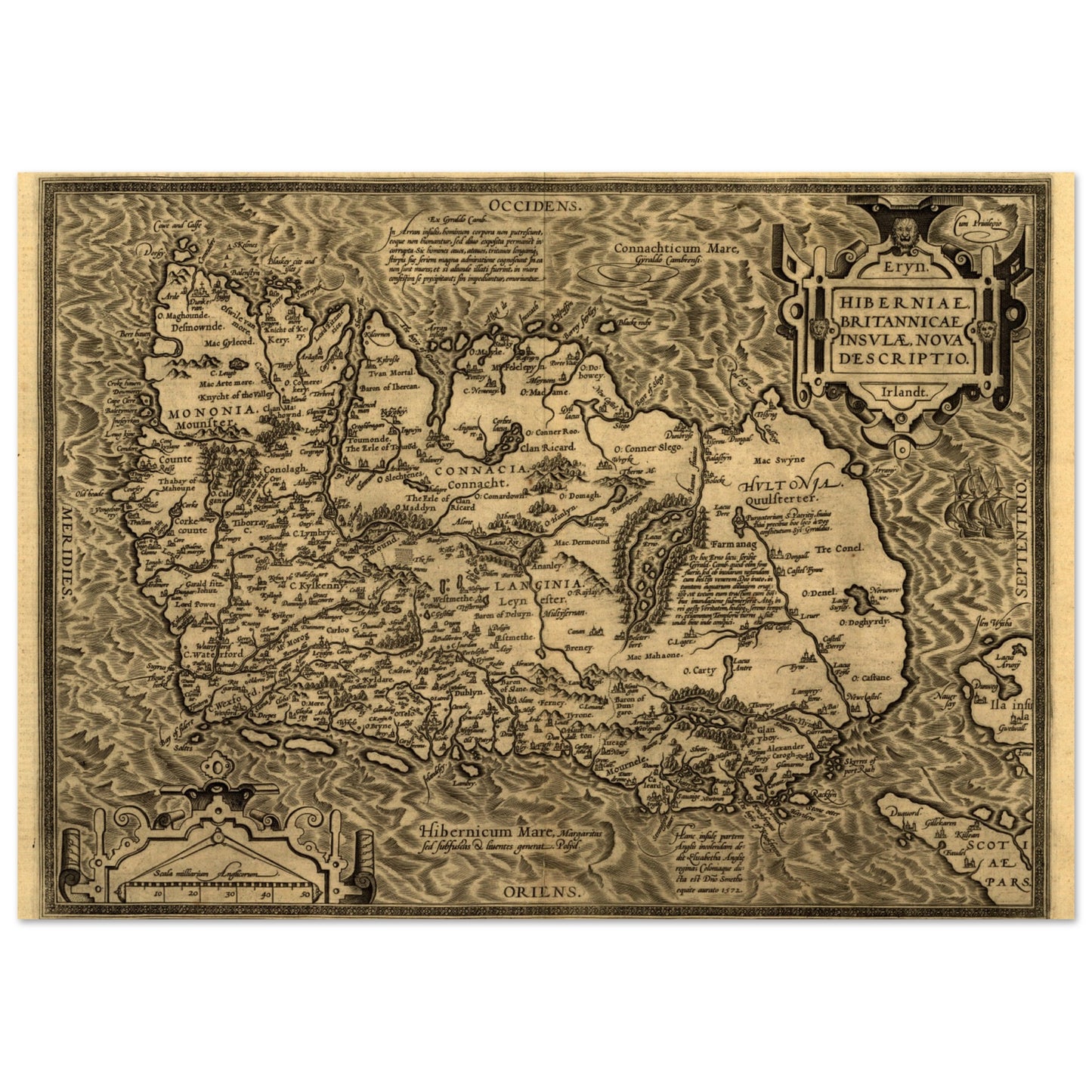
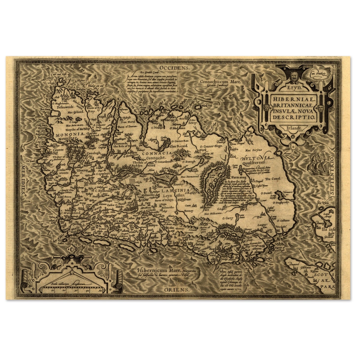
Abraham Ortelius drew one of the earliest maps of the British Isles in the late sixteenth century — the coastlines and landmarks of Ireland and Britain, set down in the Age of Exploration.
This print is of one of the earliest and most significant maps of the British Isles, capturing the essence of cartography during the Age of Exploration. From the intricate coastlines to the prominent landmarks, each element is beautifully rendered, making this piece a fascinating conversation starter.
Sizes & Format
- A4 21 × 29.7 cm / 8 × 12″
- A3 (29.7 × 42 cm)
- A2 (42 × 59.4 cm)
- Available unframed
Print & Frame Details
Archival matte paper, 250gsm (110lb), acid-free and FSC-certified — off-white, uncoated. Unframed prints up to A4 ship flat; larger sizes ship rolled in a protective tube.
Free Worldwide Shipping
Every order ships free, made to order and delivered from the hub closest to you: Ireland 3–7 business days · UK 4–8 · USA 5–10 · Canada 6–12 · Australia 7–14.